


Latest Version
2.0
August 13, 2024
Worldwide Satellite Images
Games
iOS
14.7 MB
0
Free
Report a Problem
More About GeoFS - Flight Simulator
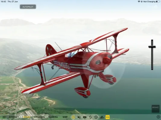
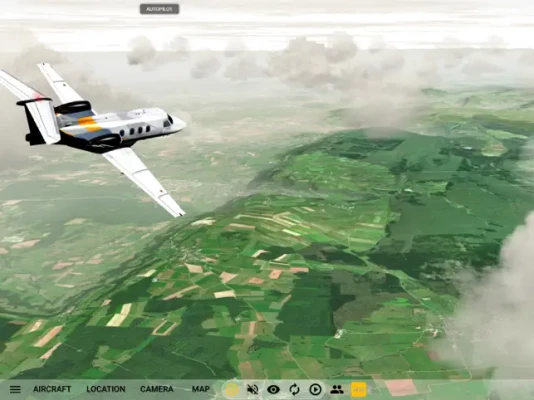
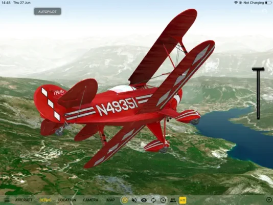
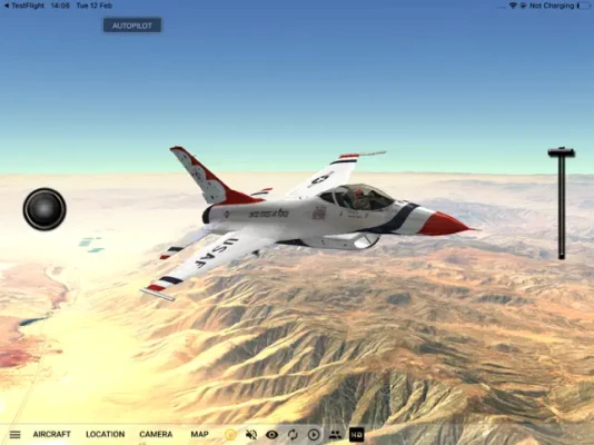
GeoFS is a multiplayer flight simulator that allows users to experience flying in a realistic global scenery created from satellite images. It offers a variety of aircraft to choose from, ranging from paragliders to airliners, and allows users to fly anywhere in the world. This app is perfect for licensed pilots looking to practice VFR, aviation enthusiasts, or anyone who wants to have fun flying in beautiful landscapes.
Some of the key features of GeoFS include worldwide satellite images and elevation models with a resolution of 10m, realistic physics and flight models, and global multiplayer capabilities. Users can also access navigation charts with 40,000 referenced runways and use radio navigation tools such as GPS, ADF, VOR, NDB, and DME. The app also offers a variety of aircraft with instrumented cockpits, allowing for a more immersive flying experience.
In addition, GeoFS includes ADS-B real-life commercial traffic, allowing users to experience real-world air traffic while flying. The app also has a replay mode, allowing users to review their flights and improve their skills. Users can also experience different seasons, day/night cycles, and real-time weather conditions based on METAR data, including wind, clouds, fog, and precipitation.
The app comes with 18 included aircraft, such as the Piper J3 Cub, Cessna 172, Boeing 737-700, and Airbus A380. It also offers unique aircraft like the Alisport Silent 2 Electro (Motor Glider) and Major Tom (Hot Air Balloon). Users can also purchase an HD subscription for high-resolution satellite images from Microsoft Bing Maps Imagery.
To use GeoFS, an internet connection is necessary, with WiFi recommended for optimal performance. Whether you are a seasoned pilot or just looking for a fun flying experience, GeoFS offers a realistic and immersive flight simulation experience for users of all levels.
Rate the App
User Reviews


Popular Apps


Editor's Choice